Harberton / Harbertonford Circuit
This is a 4½ mile (7.3km), moderately easy, more or less circular walk between Harberton and Harbertonford. Total ascent 700ft (215m)
If starting from Harbertonford (and missing out the track from Key’s Englebourne to Harberton) the distance is about 3½ miles.

Harberton to Harbertonford
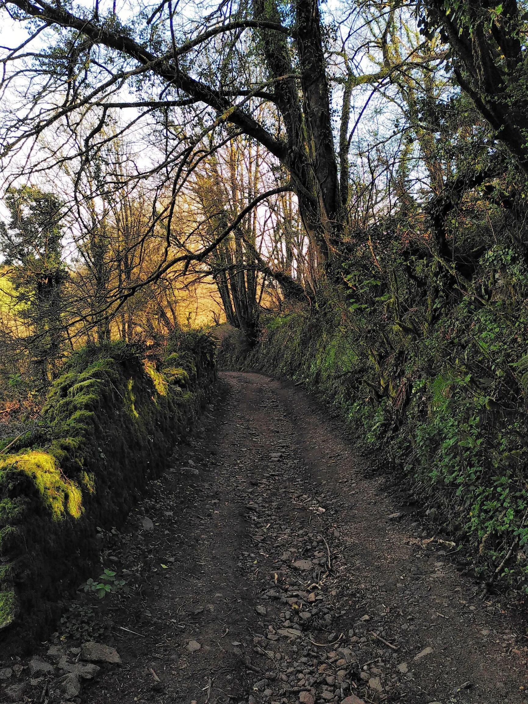
1. We start near the middle of the village, close to Preston Farm and the bus shelter. Opposite no.4 Wesley Place is an ancient Green Lane heading south, signposted ‘Unmetalled Road’. Head up this track and immediately you are in another world. About 150m up the track follow the obvious left fork downhill which starts to run parallel to the Englebourne stream below. After another 250m, or so look out on the left for the fallen oak with its interesting fungi and occasional philosophical graffiti. From here there are lovely hedgerow views over what might be called Englebourne Vale. Carry on gently up and then down to Key's Englebourne.
2. Just after the farmyard take a left downhill on a tarmac lane crossing the gentle Englebourne stream. Wyse's Englebourne comes into view on the right. Immediately on passing the building, by the stile on the right, take the signed footpath up onto the meadow. Very shortly the top of a distant electricity pylon comes into view. This is your pointer to find the gap at the field corner if the path isn't very obvious. More lovely unspoilt views especially on your right through the Englebourne Vale. Beyond the gap, and now into the second field, you take a half-left towards the distant corner. The far left one of the distant pylons is now your pointer towards the double stiles in the field corner.
3. After clambering over the stiles, turn right along the lane to reach the nearby A381 at Brockhills Cross. By the guidepost take care crossing the main road to the far-side verge. There is a lumpy 'path' of sorts along the verge as far as Nkuku (the former Cockram’s Barn), then keep left along the lane, up to Maryland then Old Road down past the School into Harbertonford.

Harbertonford to Harberton
4. At the small village green, landscaped in 2003 after the floods, opposite the Post Office & Shop (beneath which the Englebourne stream emerges to join the River Harbourne) turn right, cross the A381 and then immediately left by the bus shelter and St Peter's Church where the road sign points to Diptford. The road swings sharply left after Packs Close passing ancient gated entrance pillars on your right. The former Old Woollen Mill buildings are the massive structures on your left.
5. Head along the lane, accompanied on your left by the remains of the old mill leat from Rolster Bridge. The Harbourne River soon comes into view. After a while the old leat seems to fade out, but near Palmer's Dam remnants of it reappear. The dam and river-widening scheme (named after the late Ken Palmer, a local farmer who provided the land) was constructed after the severe flooding in 2002. It also includes a nature reserve with shallow lakes, wetland flora, and native trees. Continuing towards the pronounced right bend in the lane you can just make out a seriously overgrown sluice bridge over an old leat on the left. This is not the main leat from the Rolster Bridge confluence, but a ‘tributary’ from further up the Harbourne near Monkey Oak.
6. Pass by the Rolster Bridge turning on your left and continue ahead on the lane which now follows the curve of the Englebourne Woods hillside with its recent woodland clearance. Remnants of our ‘tributary’ leat on the left are visible for a while on the way to Monkey Oak (aka Monk’s Oak or Monking Oak). Just as the leat ditch seems to run out, look out for a small ‘clapper’ bridge across the meadow. This used to carry an old footpath over our leat running from a sluice on the Harbourne just west of Monkey Oak.
7. At Monk's Oak Farmhouse on the bend leave the metalled lane and head straight on steeply up the old Green Lane. It can be slippery and muddy in places when wet. Nearing the top of the way, by field gates, there are impressive 180-degree vistas to enjoy, out towards Beenleigh Brook and along the Harbourne valley. The curve of the woodland-topped hill opposite, above the aptly named Hill Mill (the former edge tool foundry), is an impressive backdrop.
8. Soon after reaching a sharp right-hand bend with yet more views you have gained the top of the climb. A modern farm track joins on your left, but you head straight on downhill alongside a small copse on your right. It’s a wide but often poorly drained track, almost impassable after heavy rain, and soon wends its way down to Key's Englebourne with distant views of Harberton village.

9. At Key’s Englebourne we can reverse our earlier route, taking the left turn back to Harberton. For those wanting to return direct to Harbertonford, branch right down the tarmac lane described in 2 above.
April 2020